
Please choose a Metric:
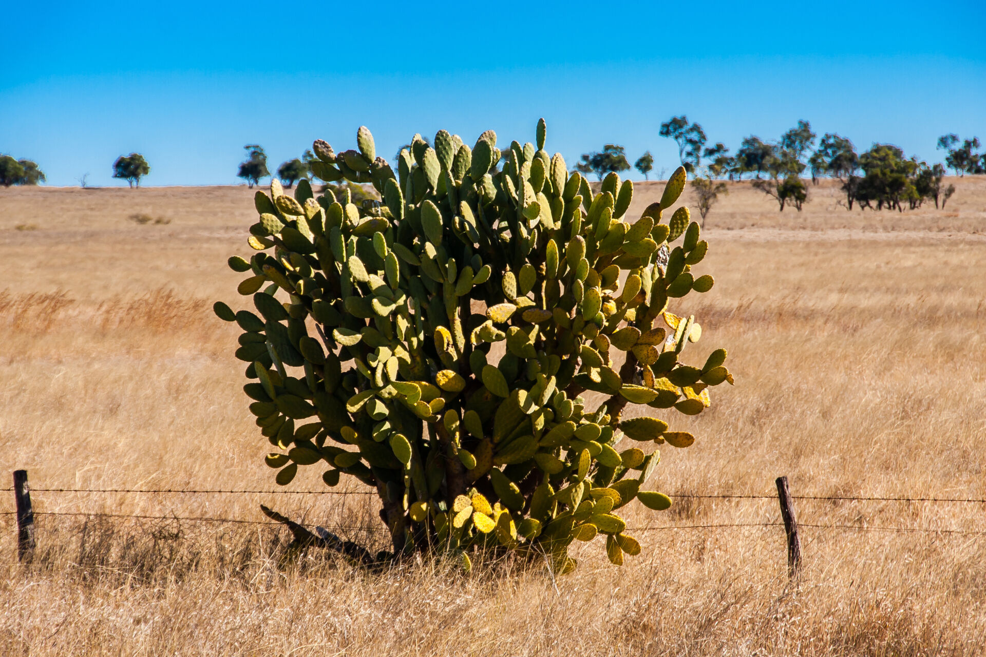
Extent of land/freshwater/ocean affected by introduced/invasive/weed species, varieties or strains, caused by the reporting entity
Type
Related framework / metric
TNFD: A4.0
Units
Example target
Example methods / guidance / references
What are tiers?
Tier 1
Estimate using own judgement and observations
Tier 2
Estimate using third-party professional estimates or public data
Tier 3
Model or measure based on site-specific surveys/sampling, remote or in-field sensing, laboratory analysis, etc.
Example data sources
Internal records
Third-party data sources
Maps showing records of occurrences of invasive species across Australia are available at the Atlas of Living Australia.
Maps showing the presence of weed species close to a selected location in Queensland are available at Weeds near me.
Site-specific measurements or model outputs
Data on global and Australian modelled current and future (2070) distributions for around 100 invasive plant species are available at CSIRO Data Access Portal – All CLIMEX models – AdaptNRM module 2: Invasive plant species and climate change.
Data on invasive alien species (including certain weeds) pressures on biodiversity in New South Wales are available at CSIRO Data Access Portal – Assessing invasive alien species pressures on biodiversity in New South Wales (exposure dimension): Data packages for the Biodiversity Indicator Program, first assessment.
Notes
Note that this metric may be derived from Ecosystem asset accounts (see Ecosystem assets). Additional analysis may be required to determine the extent to which measured change in extent of introduced/invasive/weed/pest species, varieties or strains has been caused by the reporting entity.
‘Affected by’ could be defined more specifically as the flow of ecosystem services depended on by the reporting entity are significantly reduced (remain above levels required to meet objectives), and/or management of this issue entails significant cost (above expectations).
Extensive information on weed species of relevance to Victoria is available at Victorian Resources Online – Invasive Plants.
Variants of this metric include:
TNFD additional disclosure metric A4.0: “Number/extent of unintentionally introduced species, varieties or strains in areas owned, operated, used or financed in priority areas (absolute, presence/absence and/or number removed).”
Last updated: 5th September 2025
Type
Related framework / metric
TNFD: A4.0
Units
Example target
Example methods / guidance / references
What are tiers?
Tier 1
Estimate using own judgement and observations
Tier 2
Estimate using third-party professional estimates or public data
Tier 3
Model or measure based on site-specific surveys/sampling, remote or in-field sensing, laboratory analysis, etc.
Example data sources
Internal records
Third-party data sources
Maps showing records of occurrences of invasive species across Australia are available at the Atlas of Living Australia.
Site-specific measurements or model outputs
Data on global and Australian modelled current and future (2070) distributions for around 100 invasive plant species are available at CSIRO Data Access Portal – All CLIMEX models – AdaptNRM module 2: Invasive plant species and climate change.
Data on invasive alien species (including certain weeds) pressures on biodiversity in New South Wales are available at CSIRO Data Access Portal – Assessing invasive alien species pressures on biodiversity in New South Wales (exposure dimension): Data packages for the Biodiversity Indicator Program, first assessment.
Notes
Variants of this metric include:
TNFD additional disclosure metric A4.0: “Number/extent of unintentionally introduced species, varieties or strains in areas owned, operated, used or financed in priority areas (absolute, presence/absence and/or number removed).”
Last updated: 2nd September 2025
Type
Related framework / metric
TNFD: C4.0
Units
Example target
Example methods / guidance / references
What are tiers?
Tier 1
Estimate using own judgement and observations
Tier 2
Estimate using third-party professional estimates or public data
Tier 3
Model or measure based on site-specific surveys/sampling, remote or in-field sensing, laboratory analysis, etc.
Example data sources
Internal records
Third-party data sources
Site-specific measurements or model outputs
Notes
Variants of this metric include:
TNFD placeholder core disclosure metric C4.0: “Proportion of high-risk activities operated under appropriate measures to prevent unintentional introduction of IAS, or low-risk designed activities.”
Last updated: 2nd September 2025