
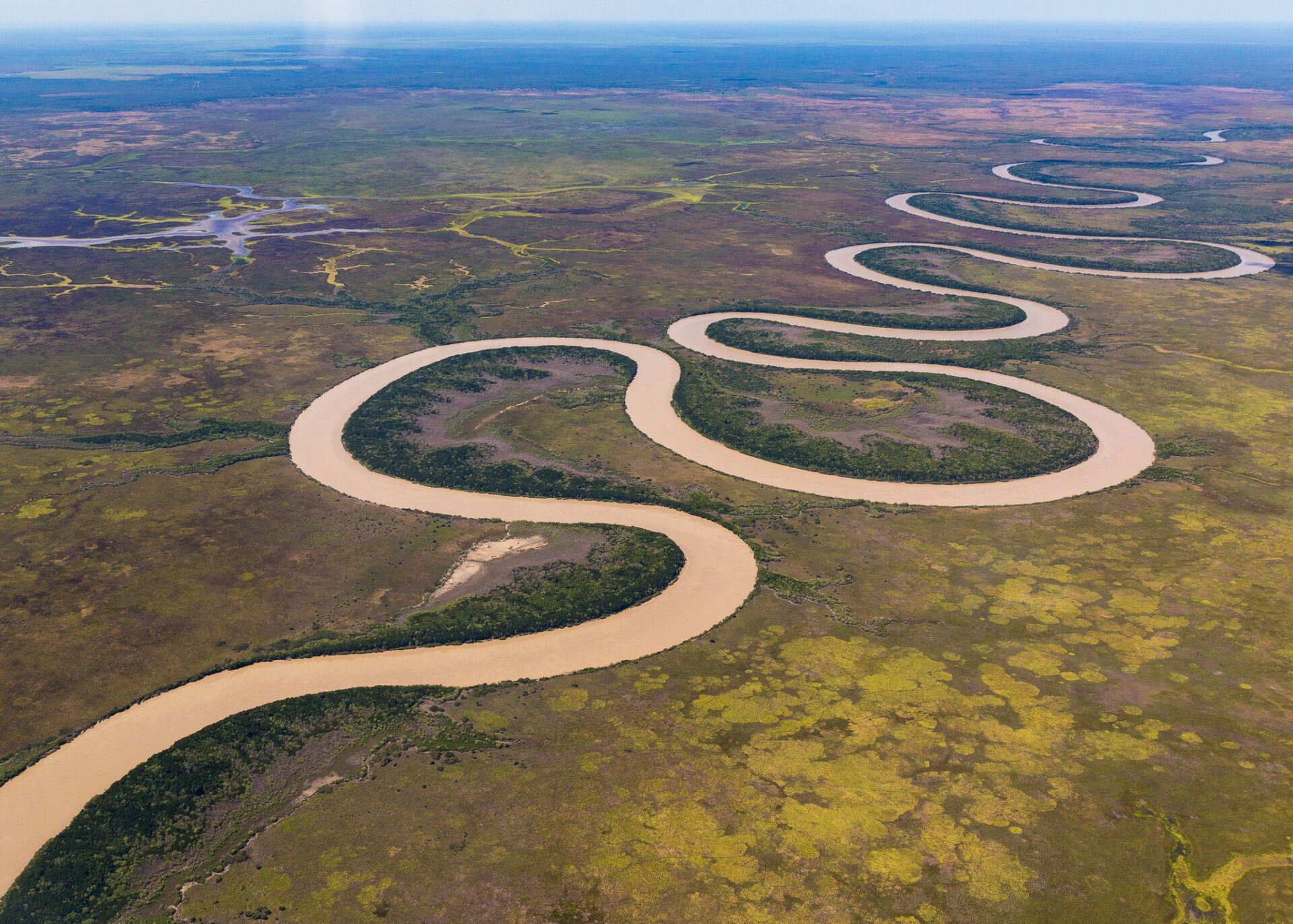
Examples include streams, rivers, and their immediate boundary (riparian) zones. They are defined by having a linear structure and unidirectional flow regime.
This category corresponds to IUCN-GET biome F1 (Rivers and streams).
Please choose a Metric:
Area of ecosystem asset - Rivers, streams and riparian zones
Please choose a Metric:
Flow rate
Please choose a Metric:
Flood protection - number of people and/or buildings in a lower risk category
Please choose a Metric:
Flood protection - number of people and/or buildings in a lower risk category - monetary value
Units
Example methods / guidance / references
What are tiers?
Tier 1
Estimate using own judgement and observations
For example, estimate % of total land area covered by ecosystem type, multiplied by total land area.
Tier 2
Estimate using third-party professional estimates or public data
Tier 3
Model or measure based on site-specific surveys/sampling, remote or in-field sensing, laboratory analysis, etc.
Example data sources
Internal records
Third-party data sources
To the best of our knowledge there is not currently any interactive map of Australian ecosystem extent classified according to the IUCN-GET typology applicable at property-level scale. Maps of ecosystem extent classified according to the IUCN-GET typology for certain regions globally are available at the Global Ecosystems Atlas.
Maps showing extent of Australian rivers as a land use type are available at National Map – Catchment Scale Land Use 2020 – Secondary classification (select layer: Catchment Scale Land Use 2020 – Secondary classification, which shows River as a category).
Site-specific measurements or model outputs
Data on Australian ecosystem extent classified according to the IUCN-GET typology are available at CSIRO Data Access Portal – Spatial extent of IUCN ecosystem functional groups at 250 m resolution for freshwater, terrestrial, marine and transitional realms for Australia: pre-1750, 2010-11, 2015-16 and 2020-21.
Data on extent of Australian rivers as a land use type at various scales are available at Australian Bureau of Agricultural and Resource Economics and Sciences (ABARES) – Land use data download.
Data on area of Australian surface water resources are available at the Bureau of Meteorology – Australian Hydrological Geospatial Fabric (Geofabric).
Notes
Work in progress - Feedback welcome
Last updated: 8th May 2025
Units
SEEA ES sub-type
Intermediate or final
Example methods / guidance / references
What are tiers?
Tier 1
Estimate using own judgement and observations
Tier 2
Estimate using third-party professional estimates or public data
Tier 3
Model or measure based on site-specific surveys/sampling, remote or in-field sensing, laboratory analysis, etc.
Example data sources
Internal records
Third-party data sources
Site-specific measurements or model outputs
Notes
This metric refers to the number of people and/or buildings that can be identified as being in a lower flood risk category than they would have been in the absence of the ecosystem providing the flood mitigation service. Usually this involves an assumption that the relevant ecosystem would otherwise have been bare land (see SEEA-EA 2021, Table 7.7), and requires some form of hydrological modelling to determine risk exposure in the existing situation as well as the baseline scenario.
River flood mitigation services may be provided along with water flow regulation services (including baseline flow maintenance services and peak flow mitigation services).
Last updated: 29th November 2024
Units
Example methods / guidance / references
What are tiers?
Tier 1
Estimate monetary value of ecosystem contribution from replacement cost.
For example, estimate how much it would cost to provide flood protection if the ecosystem service was not available (NCAVES and MAIA, 2022).
Tier 2
Estimate monetary value of ecosystem contribution from replacement cost.
For example, estimate how much it would cost to provide flood protection if the ecosystem service was not available (NCAVES and MAIA, 2022).
Tier 3
Estimate monetary value of ecosystem contribution from avoided damages.
For example, estimate the cost of avoided flood damages that would be incurred in the absence of the ecosystem service (NCAVES and MAIA, 2022).
Example data sources
Internal records
Third-party data sources
Site-specific measurements or model outputs
Notes
Work in progress - Feedback welcome
Last updated: 3rd December 2024
Type
SEEA ECT Class
Units
Example methods / guidance / references
What are tiers?
Tier 1
Estimate using own judgement and observations
Tier 2
Estimate using third-party professional estimates or public data
Tier 3
Model or measure based on site-specific surveys/sampling, remote or in-field sensing, laboratory analysis, etc.
Methods for measuring flow rate can be found in AfN-METHOD-W-01 “Alluvium and EcoFutures Regional Waterway Condition Method for Central Queensland”.
Example data sources
Internal records
Third-party data sources
Maps showing flow rate data for Australian rivers and streams are available at the Bureau of Meteorology – Water Data Online, and for Queensland at Water Monitoring Information Portal.
Site-specific measurements or model outputs
Data on flow rate for Australian rivers and streams are available at the Bureau of Meteorology – Water Data Online, and for Queensland at Water Monitoring Information Portal.
Notes
Annual average, seasonal average or even daily average flow rates can be compared with natural (undisturbed) flow rates or ‘environmental flows’ determined to protect ecological integrity.
Last updated: 10th October 2024
Units
Example methods / guidance / references
What are tiers?
Tier 1
Estimate using own judgement and observations
For example, estimate % of total land area covered by ecosystem type, multiplied by total land area.
Tier 2
Estimate using third-party professional estimates or public data
Tier 3
Model or measure based on site-specific surveys/sampling, remote or in-field sensing, laboratory analysis, etc.
Example data sources
Internal records
Third-party data sources
Site-specific measurements or model outputs
Data on length of Australian rivers and streams are available at the Bureau of Meteorology – Australian Hydrological Geospatial Fabric (Geofabric).
Notes
For long, narrow ecosystem assets such as rivers, length can better represent relevant extent than area (consider the increase in effective habitat from doubling a stream’s length as opposed to doubling its width). See SEEA-EA 2021 section 4.3.3.
Last updated: 6th January 2025
Type
SEEA ECT Class
Units
Example methods / guidance / references
What are tiers?
Tier 1
Estimate using own judgement and observations
Tier 2
Estimate using third-party professional estimates or public data
Methods for measuring riparian vegetation cover can be found in AfN-METHOD-W-01 “Alluvium and EcoFutures Regional Waterway Condition Method for Central Queensland”.
Tier 3
Model or measure based on site-specific surveys/sampling, remote or in-field sensing, laboratory analysis, etc.
Example data sources
Internal records
Third-party data sources
Site-specific measurements or model outputs
Data on global landcover classification, which could be used to identify the proportion of a defined riparian buffer zone classified as tree cover, shrubland, herbaceous wetland or mangroves, are available at the European Space Agency – WorldCover or Google and World Resources Institute – Dynamic World.
Data on the extent, percentage cover and rate of change of riparian vegetation for Reef catchments and South-East Queensland are available from the Queensland Government Open Data Portal – Extent and rate of change of riparian vegetation.
Notes
Riparian vegetation cover is a strong predictor of other river health metrics, with 80% mid-dense forest cover in hydrologically active areas in close proximity to the stream being associated with excellent health, and 60% with good health – Sheldon et al. (2012).
Last updated: 25th March 2025
Type
SEEA ECT Class
Units
Example methods / guidance / references
What are tiers?
Tier 1
Estimate using own judgement and observations
Tier 2
Estimate using third-party professional estimates or public data
Tier 3
Model or measure based on site-specific surveys/sampling, remote or in-field sensing, laboratory analysis, etc.
Example data sources
Internal records
Third-party data sources
Site-specific measurements or model outputs
Data on various features such as dams along Australian rivers and streams are available at the Bureau of Meteorology – Australian Hydrological Geospatial Fabric (Geofabric).
Notes
There are various ways in which river/stream fragmentation could be measured. Relatively simple proxies could include the maximum river/stream length without barriers such as dams, or the number of barriers per unit river/stream length.
More sophisticated proxies can be based on measured differences between natural upstream and downstream discharge rates, and the discharge rate at the barrier – see Grill et al. (2019).
Last updated: 25th March 2025
Type
SEEA ECT Class
Units
Example methods / guidance / references
What are tiers?
Tier 1
Estimate using own judgement and observations
Tier 2
Estimate using third-party professional estimates or public data
Methods for measuring native plant species richness per life form (trees, shrubs, grasses and forbs/other) using visual observation can be found in AfN-METHOD-NV-01 “Land Restoration Fund (LRF) Native Vegetation Monitoring Method”.
Methods for measuring native species count for tree canopy and shrub layer species can be found in AfN-METHOD-NV-07 “Bush Heritage Australia – Vegetation Assessment Methodology”.
Tier 3
Model or measure based on site-specific surveys/sampling, remote or in-field sensing, laboratory analysis, etc.
Methods for measuring terrestrial mammal species richness using wildlife camera records can be found in AfN-METHOD-F-01 “Accounting for Nature Australian Terrestrial Mammal Method”.
Methods for measuring aquatic vertebrate species richness using eDNA measurement can be found in AfN-METHOD-F-05 “EnviroDNA Aquatic Vertebrate eDNA Method”.
Example data sources
Internal records
Third-party data sources
Maps showing the number of species in a given area are available at the Atlas of Living Australia (select layer: Species richness).
Site-specific measurements or model outputs
Data on the number of species in a given area are available at the Atlas of Living Australia (select layer: Species richness).
Notes
Species richness can be defined as “The number of species within a given sample, community, or area” (IPBES). It is one way of measuring species diversity, which is itself only one aspect of overall biodiversity. The concept of richness can also be applied at other levels, from genetic (e.g. the number of distinct genotypes within a species) to the number of represented genera, families, etc. It can be useful to supplement richness information with information on abundances or relative abundance distributions.
Depending on the purpose of measurement, and the measurement resources available, the concept of species richness may be applied to certain sets (e.g. plants, mammals, birds, invertebrates, endemic species, etc.). It is important to recognise that observations from one set may not apply to other sets in the same area.
It is usually not feasible to count all species, even within a limited set, within a given area. Therefore some form of sampling method is usually applied to come up with a sample set that can feasibly be measured. Many different sampling methods may be used, and the number of samples required will depend on the measurement objectives (e.g. desired accuracy and confidence), the sample measurement method (e.g. size of sample areas), and the actual variation in the measured quantity across the given area. There are also many different measurement methods and technologies at the sample measurement level (e.g. pit traps for insects, camera traps for animals, acoustic methods for birds). There is no single ‘right’ method that applies in all circumstances. Whatever method is used, it is important that it should be applied consistently for a given site over time, and appropriate to the measurement objectives and ecosystem type. Measurements using different methods may not necessarily be comparable.
Last updated: 6th January 2025
Units
SEEA ES sub-type
Intermediate or final
Example methods / guidance / references
What are tiers?
Tier 1
Estimate using own judgement and observations
Tier 2
Estimate using third-party professional estimates or public data
Tier 3
Model or measure based on site-specific surveys/sampling, remote or in-field sensing, laboratory analysis, etc.
For example, measure using flow meters.
Example data sources
Internal records
Third-party data sources
Data on aggregated surface water supply for Australian river regions are available at the Bureau of Meteorology – National Water Account.
Site-specific measurements or model outputs
Notes
Water abstracted may be considered an ecosystem service (e.g. where ecosystems provide essential water purification services or flow regulation services); or an abiotic flow (not dependent on any particular ecological processes). Either way, the volume extracted is the relevant measure, unless water purification services and flow regulation services can be measured separately (see SEEA-EA s.6.4.2, pp. 138-139), in which case water supply should not be measured as a separate ecosystem service, but rather as an abiotic flow (water abstracted). If water abstracted can be separated into different uses (e.g. human drinking water, livestock drinking water, irrigation) then it can be helpful to measure these amounts separately.
Last updated: 6th January 2025
Units
Example methods / guidance / references
What are tiers?
Tier 1
Estimate monetary value of ecosystem contribution from residual value.
For example, where payment is made for water supply, deduct user costs (e.g. costs of abstraction, treatment and delivery, plus financial costs such as depreciation and return on produced assets, minus subsidies on extraction, plus taxes on extraction) from revenues from water supply, to derive a monetary value for the ecosystem contribution (NCAVES and MAIA, 2022).
Tier 2
Estimate monetary value of ecosystem contribution from replacement cost.
For example, estimate how much it would cost to provide water from the next lowest cost alternative (such as desalinisation) if the ecosystem service was not available (NCAVES and MAIA, 2022).
Tier 3
Estimate monetary value of ecosystem contribution from directly observed prices, or from a productivity change method.
For example, use directly observed prices from relevant transactions of water rights or prices paid for supplied water; or estimate the productivity change, such as increased production due to the supply of water, resulting from the provision of the ecosystem service (NCAVES and MAIA, 2022).
Example data sources
Internal records
Third-party data sources
Site-specific measurements or model outputs
Notes
Work in progress - Feedback welcome
Last updated: 3rd December 2024
Type
SEEA ECT Class
Units
Example methods / guidance / references
What are tiers?
Tier 1
Estimate using own judgement and observations
Methods for water quality sampling and assessment can be found in the Queensland Government’s Water Monitoring and Sampling Manual.
Methods for measuring turbidity, dissolved oxygen, total nitrogen, total phosphorus, pH, conductivity and total dissolved sediments can be found in AfN-METHOD-W-01 “Alluvium and EcoFutures Regional Waterway Condition Method for Central Queensland”.
Tier 2
Estimate using third-party professional estimates or public data
Methods for measuring turbidity, dissolved oxygen, total nitrogen, dissolved inorganic nitrogen, total phosphorus, filterable reactive phosphorus, pH, conductivity, total dissolved sediments and chlorophyll-a can be found in AfN-METHOD-W-01 “Alluvium and EcoFutures Regional Waterway Condition Method for Central Queensland”.
Tier 3
Model or measure based on site-specific surveys/sampling, remote or in-field sensing, laboratory analysis, etc.
Methods for measuring turbidity, dissolved oxygen, total nitrogen, dissolved inorganic nitrogen, total phosphorus, filterable reactive phosphorus, pH, conductivity, total dissolved solids and chlorophyll-a can be found in AfN-METHOD-W-01 “Alluvium and EcoFutures Regional Waterway Condition Method for Central Queensland”.
Example data sources
Internal records
Third-party data sources
Maps of Australian water quality data are available at the Bureau of Meteorology – Water Data Online.
Site-specific measurements or model outputs
Data on Australian water quality are available at the Bureau of Meteorology – Water Data Online.
Notes
Relevant water quality metrics and thresholds depend on the use of the water and known threats to water quality. Example Tier 1/Tier 2 metrics might include Turbidity, Dissolved Oxygen, Organic and inorganic compounds, Nutrients, Acidity, Salinity/Total Dissolved Solids. Tier 3 could also include additional, more difficult or costly to measure metrics such as concentrations of cyanobacteria, pathogens and parasites, heavy metals and organic contaminants, where appropriate.
See Australian and New Zealand Guidelines for Fresh and Marine Water Quality for information and guidance on how to identify relevant water quality metrics and thresholds or ‘guideline values’ for Australian and New Zealand waters.
See also: Standard Methods for the Examination of Water and Wastewater; UN Environment (2017) A Framework for Freshwater Ecosystem Management (especially Volume 2, Tables 4 and 5 which list example water quality metrics for different freshwater ecosystem types).
Last updated: 6th January 2025