
Please choose a Metric:
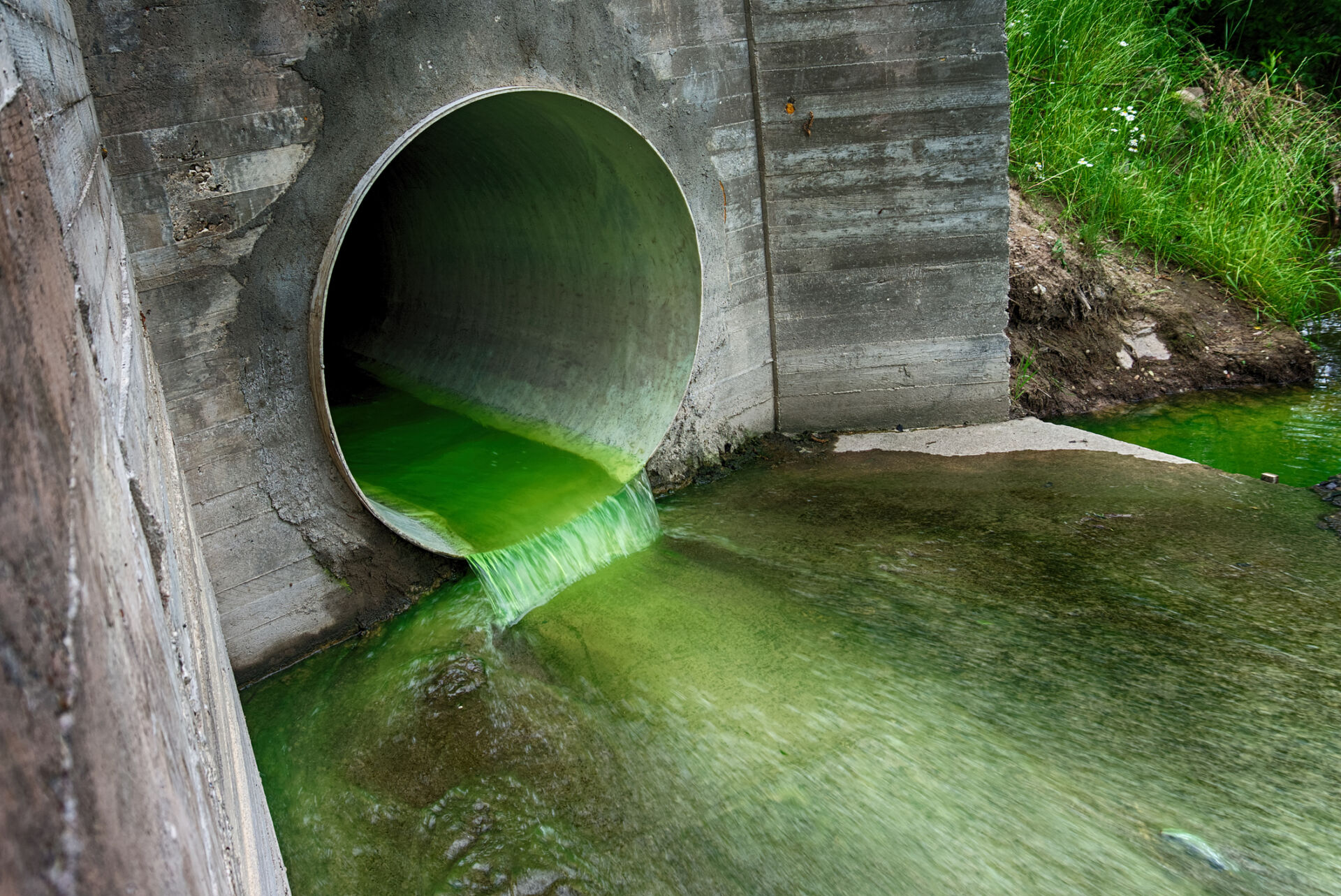
Amount of pollutants discharged to water, by type
Type
Related framework / metric
TNFD: C3.0, A2.0, FA.A2.3
Units
Example target
Example methods / guidance / references
What are tiers?
Tier 1
Estimate using own judgement and observations
For example, estimate from application/use records.
Tier 2
Estimate using third-party professional estimates or public data
Tier 3
Model or measure based on site-specific surveys/sampling, remote or in-field sensing, laboratory analysis, etc.
For example, model or measure using machine sensing data.
Example data sources
Internal records
Third-party data sources
Site-specific measurements or model outputs
Notes
Example typical potential water pollutants include nitrogen, phosphorus and other nutrients from fertiliser application, sediment from erosion/run-off, and agrochemicals. Relevant water quality variables and thresholds depend on the use of the water. See ANZECC and ARMCANZ (2000) Australian and New Zealand Guidelines for Fresh and Marine Water Quality. Volume 1: The Guidelines (Chapters 1-7). Canberra: Australian and New Zealand Environment and Conservation Council (ANZECC) and Agriculture and Resource Management Council of Australia and New Zealand (ARMCANZ).
Variants of this metric include:
TNFD core disclosure metric C3.0: “Volume of water discharged (m³), split into:
• Total;
• Freshwater; and
• Other.
• Including:
• Concentrations of key pollutants in the wastewater discharged, by type of pollutant, referring to sector-specific guidance for types of pollutants; and
• Temperature of water discharged, where relevant.
Freshwater: (≤1,000 mg/L Total Dissolved Solids). Other: (>1,000 mg/L Total Dissolved Solids). Reference: GRI (2018) GRI 303-4 Water discharge.”
TNFD additional disclosure metric A2.0: “Volume of wastewater treated, reused or recycled (m³). Reduction in volume of wastewater relative to baseline as a result of technological or process changes (m³).”
TNFD Food and agriculture additional disclosure metric FA.A2.3: “Water pollutant loading rate (tonnes of pollutant/month). Reporting should include locally developed model results for pollutants from non-point source, based on average nitrogen and phosphorus nutrient loads over past 5 years of operations.”
Last updated: 10th September 2025
Type
Related framework / metric
TNFD: FA.A5.0, FA.A5.3
Units
Example target
Example methods / guidance / references
What are tiers?
Tier 1
Estimate using own judgement and observations
Methods for water quality sampling and assessment can be found in the Queensland Government’s Water Monitoring and Sampling Manual.
Tier 2
Estimate using third-party professional estimates or public data
Tier 3
Model or measure based on site-specific surveys/sampling, remote or in-field sensing, laboratory analysis, etc.
Example data sources
Internal records
Third-party data sources
Maps of Australian water quality data are available at the Bureau of Meteorology – Water Data Online.
Site-specific measurements or model outputs
Data on Australian water quality are available at the Bureau of Meteorology – Water Data Online.
Notes
Relevant water quality metrics and thresholds depend on the use of the water and known threats to water quality. Example Tier 1/Tier 2 metrics might include Turbidity, Dissolved Oxygen, Organic and inorganic compounds, Nutrients, Acidity, Salinity/Total Dissolved Solids. Tier 3 could also include additional, more difficult or costly to measure metrics such as concentrations of cyanobacteria, pathogens and parasites, heavy metals and organic contaminants, where appropriate.
See Australian and New Zealand Guidelines for Fresh and Marine Water Quality for information and guidance on how to identify relevant water quality metrics and thresholds or ‘guideline values’ for Australian and New Zealand waters.
See also: Standard Methods for the Examination of Water and Wastewater; UN Environment (2017) A Framework for Freshwater Ecosystem Management (especially Volume 2, Tables 4 and 5 which list example water quality metrics for different freshwater ecosystem types).
Variants of this metric include:
TNFD Food and agriculture additional disclosure metric FA.A5.0: “Coastal and freshwater eutrophication; plastic debris density; Chlorophyll-A concentration; In-situ concentration of nitrogen, phosphate and silica.”
TNFD Food and agriculture additional disclosure metric FA.A5.3: “Volume (tonnes) of litter in the water column and on the seafloor, including microplastics.”
Last updated: 18th September 2025
Type
Units
Example target
Example methods / guidance / references
What are tiers?
Tier 1
Estimate using own judgement and observations
See South East Local Land Services Gully Erosion Guide for an example Tier 1 method for assessing the significance of gully erosion.
Tier 2
Estimate using third-party professional estimates or public data
Tier 3
Model or measure based on site-specific surveys/sampling, remote or in-field sensing, laboratory analysis, etc.
An example Tier 3 method is given in Walker, S.J. et al. (2020).
Example data sources
Internal records
Third-party data sources
Various sources of data relevant to assessing riparian gully erosion are suggested at p. 18 in Wilkinson, S. et al. (2019)
Site-specific measurements or model outputs
Data on the extent, percentage cover and rate of change of riparian vegetation for Reef catchments and South-East Queensland are available from the Queensland Government Open Data Portal – Extent and rate of change of riparian vegetation.
Notes
This measure is a proxy for inputs of sediment to waterways.
Last updated: 29th October 2024
Type
Related framework / metric
TNFD: A2.0, C2.1, FA.A2.4, FA.A2.5
Units
Example target
Example methods / guidance / references
What are tiers?
Tier 1
Estimate using own judgement and observations
For example, estimate by multiplying estimated average discharge rate by discharge time. Water footprint calculators are available at Water Footprint Network.
Tier 2
Estimate using third-party professional estimates or public data
Tier 3
Model or measure based on site-specific surveys/sampling, remote or in-field sensing, laboratory analysis, etc.
For example, measure using site-specific flow meters.
Example data sources
Internal records
Third-party data sources
Site-specific measurements or model outputs
Notes
Where water discharged is of clearly different quality levels (e.g. freshwater vs. polluted), these quantities may be recorded separately. Alternatively, the ‘grey’ water footprint can be calculated, i.e. the amount of fresh water required to assimilate pollutants to meet specific water quality standards (see https://www.waterfootprint.org). Essentially, this involves dividing the pollutant load by the difference between the ambient water quality standard for that pollutant and its natural concentration in the receiving water body (Hoekstra et al., 2011, p. 30).
Variants of this metric include:
TNFD core disclosure metric C2.1: “Volume of water discharged (m³), split into:
• Total;
• Freshwater; and
• Other.
• Including:
• Concentrations of key pollutants in the wastewater discharged, by type of pollutant, referring to sector-specific guidance for types of pollutants; and
• Temperature of water discharged, where relevant.
Freshwater: (≤1,000 mg/L Total Dissolved Solids). Other: (>1,000 mg/L Total Dissolved Solids). Reference: GRI (2018) GRI 303-4 Water discharge.”
TNFD additional disclosure metric A2.0: “Volume of wastewater treated, reused or recycled (m³). Reduction in volume of wastewater relative to baseline as a result of technological or process changes (m³).”
TNFD Food and agriculture additional disclosure metric FA.A2.4: “Volume of wastewater reused (m³).”
TNFD Food and agriculture additional disclosure metric FA.A2.5: “Volume of water discharged (total, freshwater, other) per tonne of crop and/or product dry matter and/or animal protein (m³/tonne).”
Last updated: 18th September 2025